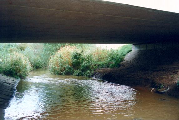
Before: Looking west through Leyland Bridge.
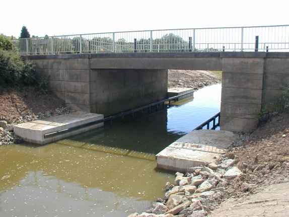
Wed 10th Jul 2002: The completed channel through the bridge seen from the opposite bank. Concrete abutments have been cast on each side of the bridge and he fendering installed.
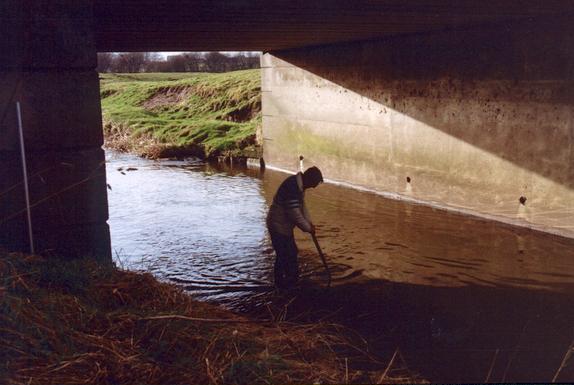
Before: Looking east from Leyland Bridge.
Tue 14th May 2002: The view towards lock 4 from the works beneath Leyland Bridge. The recycled plastic landing stage and bank protection fenders below the lock have now been completed and the lock gates painted. The water is at operational level - about 400mm below the top of the landing stage.
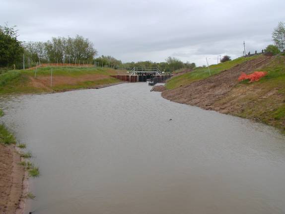
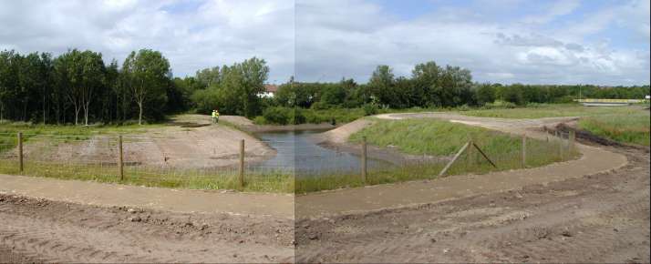
Before: Lock 5 will be constructed across the meander, just up-stream of Leyland Bridge, which starts here. The weir for lock 5 spillway will be built here.
The area to the north of the lock, in and around the meander will be promoted as a wild life sanctuary.
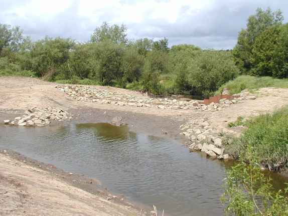
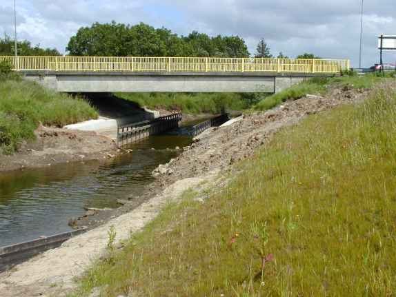
Tue 18th Jun 2002: The completed weir, which incorporates a fish pass, across the start of the meander just upstream of lock 5. The channel from lock 5 is on the left.
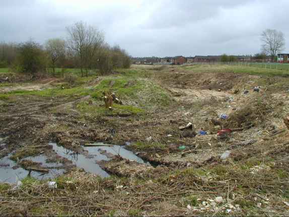
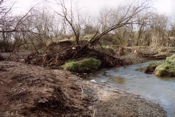
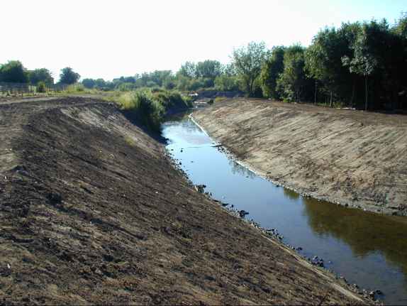
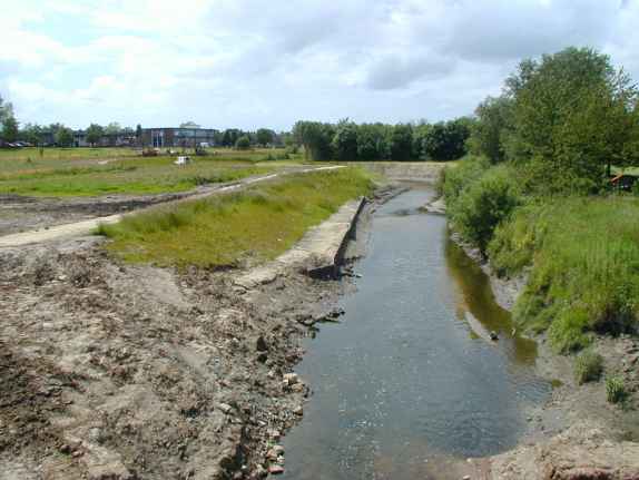
Tue 17th Apr 2001: Looking east from the site of Lock 5 across an old meander after the initial site clearance. The Savick Brook is flowing in front of the trees in a deep channel, the line of the new navigation will be straight ahead.
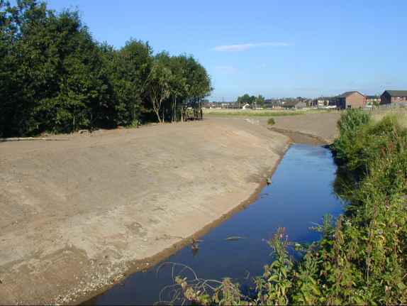
Fri 27th Jul 2001: The completed channel.
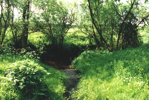
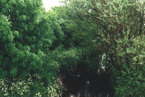
Before: Savick Brook flows along the northern boundary of Savick County Primary School.
Fri 27th Jul 2001: The completed channel.
Tue 18th Jun 2002: Composite photograph showing where the inside of both bends downstream of Savick Way bridge have been cut back a further five metres to make the bends less severe. Hazel faggots are being fixed in position at the waterline to provide bank protection.
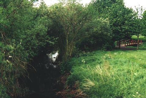
Before: A tributary joins the Savick Brook just downstream from Savick Way bridge.
Fri 27th July 2001: Looking south across the completed channel.
Before: Looking down-stream from Savick Way bridge.
Tue 18th Jun 2002: Between lock 5 and Savick Way the banks are showing a goodgrowth of grass. Downstream of Savick Way a length of bank protection has been installed as another trial of the recycled plastic. The footpath can be seen running along the top of the bank.
Before: Savick Way bridge measures 7m wide by 3.25m high and, by the removal of 350-400mm from the bed, sufficient clearance will be gained for navigation without major modifications being made to the bridge structure.
Tue 18th Jun 2002: The view upstream of the new channel beneath Savick Way bridge. The operational water level will be just below the top fenders - there will be no tow path beneath the bridge.
Before: Looking up-stream from Savick Way bridge.
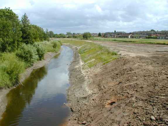
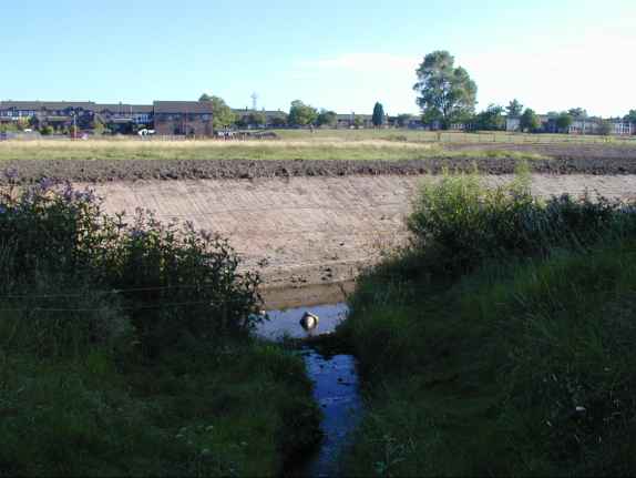
Tue 18th Jun 2002: The new growth of grass can again be clearly seen on the south side of the channel, east of Savick Way bridge, as it leads to lock 4 and the railway bridge. The sandy line is at the operational water level. The footpath can be seen running from the Savick Way crossing and then along the top of the bank.
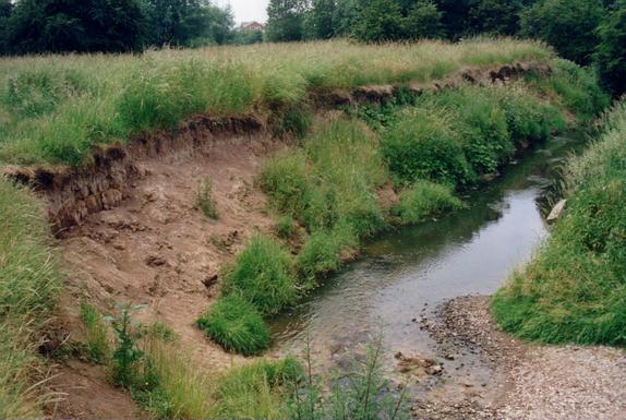
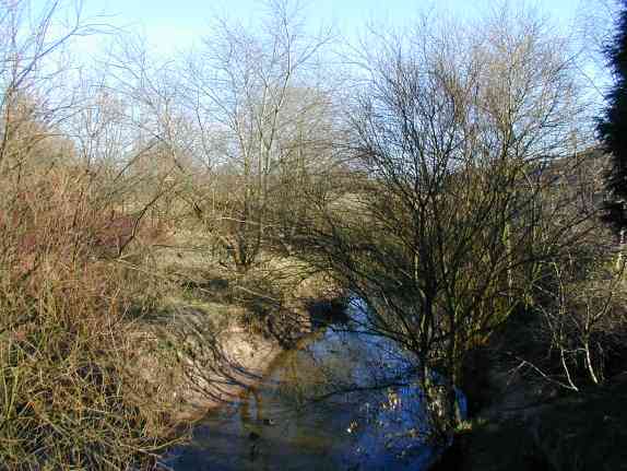
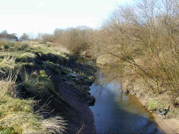
Before: Between Savick Way bridge and the railway bridge the brook has cut more deeply into the valley floor.
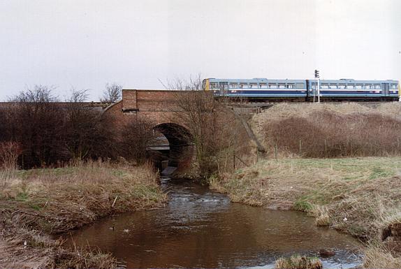
Before: The railway bridge looking east from the site of lock 4 which will be constructed in the meander here.
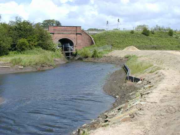
Tue 18th Jun 2002: There is just a few inches of water in the channel as some remedial work is carried out on the bank by the bridge. The main section of the suspended walk-way beneath the arch of the railway bridge was installed over the weekend 15th/16th June.